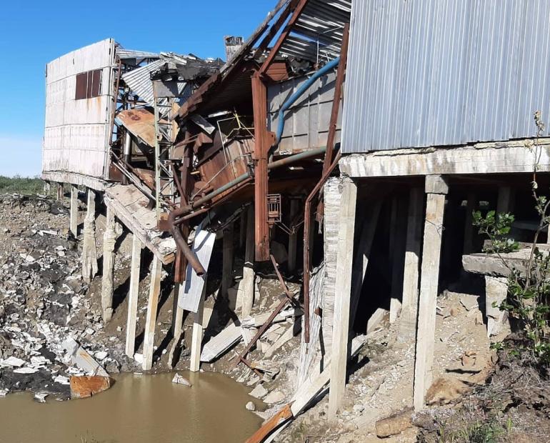
In 2016, adolescents from two earthquake-affected regions in Ecuador - Esmeraldas and Manabi – were trained to use a digital mapping tool to document the impact of the April 2016 earthquake in their communities. The goal was to empower the youth and enable them to be part of the earthquake response. The “Voices of Youth Maps” application allowed participants to gather information through photographs and GPS, by using smartphones. Originally, 20 young people were trained and undertook mapping over 4 weeks in Esmeraldas.
The project was later extended to Sucumbios province and 55 young people where trained over 2 weeks. The focus was empowering youth and generating risk prevention tools against natural disasters, in this case, against volcanic eruptions and floods, of high prevalence in this province.

Some of the achievements of the project were raising the awareness of communities and leaders on the most pressing problems, as well as the creation of plans to prevent and respond to natural risks.
The main partners involved were UNICEF, Un Techo Para Mi Pais, and local communities and youth organizations (JORES-Esmeraldas, FUGGA-Sucumbios).
Speaking about the project, Anthony Cázares, 19 said that the mapping tool allowed to identify "both positive and negative areas; for example: positive, in an earthquake or flood, locate a safe place; or in the negative case, identify risk zones."
Learn more about the project in the video below.
Check out a selection of reports from the mapping in Ecuador below:


